Route and Dimensions
Meandering through bays, wetlands, and shallow waters, the GIWW connects the states of Texas, Louisiana, Mississippi, Alabama, and Florida. Major ports and cities linked by this inland passage include Brownsville, Galveston, Houston, New Orleans, Mobile, Tampa, and Miami. At a minimum width of 125 feet and a minimum depth of 12 feet, the GIWW allows bidirectional barge transportation and recreational boating along the northern Gulf Coast. With no locks or dams obstructing passage, shallow draft vessels up to 190 feet long can utilize this protected route. Spanning over 1,100 miles tip to tip, the GIWW also links 10 of the top 25 tonnage ports in the entire U.S.
Transportation Uses
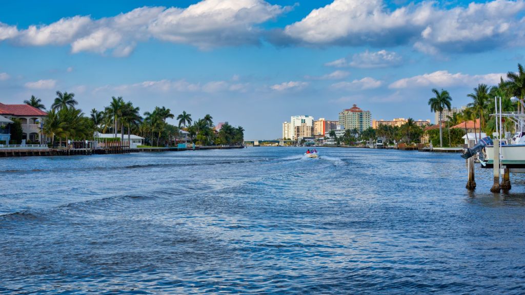
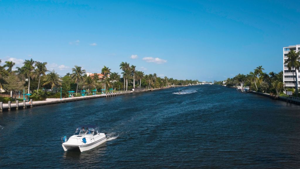
The GIWW sees substantial commercial barge traffic. Bulk products like petroleum, coal, chemicals, grains, and crude materials are transported more economically via inland barge than any other mode. Major companies that own fleets of barges utilizing the GIWW include Ingram Barge and ARTCO Fleet. This cargo traffic serves the high concentration of refineries, chemical plants, and ports dotted along the Texas and Louisiana coasts. At the same time, the GIWW provides recreational access to the waters of the Gulf for thousands of boaters. Sailboats, motor yachts, commercial fishing vessels, and more rely on the GIWW for passage. Marinas, yacht clubs, boat launches, and access points line the GIWW, supporting recreation and tourism.
Ecological Impacts
While bringing economic benefits, the GIWW has also impacted sensitive wetlands and wildlife habitats along the Gulf Coast. Saltwater intrusion and dredging contribute to erosion and subsidence issues in places like Louisiana’s Chenier Plain. Locks disrupt species that migrate between fresh and marine waters. Climate change also compromises the ability of the GIWW to control flooding in coastal watersheds. Conservation efforts aim to restore wetlands to offset losses. Water quality monitoring also tracks pollution from barge traffic and runoff. The Army Corps balances navigation needs with stewardship of fisheries, migratory birds, and diverse ecosystems bordering the GIWW.
Engineering Feats

Constructing the GIWW was an enormous engineering challenge across shallow, exposed waters. Initial construction utilized hydraulic dredges to dig sections up to 60 feet wide and 9 feet deep. Transporting dredging equipment through open water and controlling sediment build up presented obstacles. In Louisiana, a critical lock system forms the Harvey Lock, which includes the Harvey Canal Extension. Made operational in 1965, this lock overcame the challenge of inland barges navigating through open tidal waters to reach New Orleans ports. Ongoing dredging maintains designed widths and depths, with costs exceeding $100 million annually across sections prone to infill with sediment.
Threats and Challenges
As an engineered waterway along the hurricane-prone Gulf Coast, the GIWW faces periodic closures and costly damage from storms. Floodgates may be closed along sections like the Okeechobee Waterway to prevent flooding. After major hurricanes like Katrina in 2005, extended closures for debris clearing and repairs impact barge traffic. Lack of adequate federal funding for dredging poses an ongoing challenge as well. Legislation passed in 1986 called for full-widths and depths to be maintained. However, $150 million annual shortfalls in funding lead to shoaling issues in many areas. On top of weather and budget issues, ports compete with environmental groups over water quality standards and wetlands policies, creating disputes on development versus conservation of sensitive coastal ecosystems.
The Future
Expansion plans estimated around $15 billion propose to widen and deepen the most congested areas of the GIWW, particularly in Texas and Louisiana. Doing so would allow two-way traffic and enhanced barge transportation. Adapting to climate change is crucial as well, with the Army Corps assessing solutions like surge gates to control flooding. Meanwhile conservation groups advocate for stricter regulation on dredging methods and pollution controls. The future of the Gulf Intracoastal Waterway involves finding balance among shipping interests, flood control, recreational boating, tourism revenue, and stewardship of threatened coastal ecosystems. With sound policy and technological improvements, the GIWW can continue serving economic development of the Gulf Coast while preserving vulnerable wetlands and marine habitats for future generations.