Location and Geography of a Riven Coastline
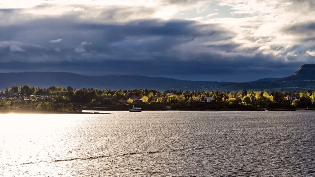
The Oslofjord extends from the island-dotted mouths of the Drammensfjord and Lysakerfjord in the south, winding northwards through the unique Scandinavian terrain. Several smaller fjords branch off the main channel, bordered by forested hills rising steeply from the sea.
A Strategic, Ancient Waterway
Since the Viking era, the Oslofjord has served as a shipping channel connecting inland communities to the open ocean. The sheltered bay allowed development of port cities like Tønsberg and Oslo, which became hubs of trade and political power. Even today, over a million Norwegians reside along its shores.
The Inner and Outer Oslofjord
The Oslofjord consists of two main basins – the Inner (Indre) and Outer (Ytre) Oslofjord, with the 9 kilometer-wide Drøbak Strait between them. The narrow Inner Oslofjord stretches from Drøbak to the capital area with numerous islands and channels. The wider Outer Oslofjord opens into the Skagerrak, and features several bays such as the Sætrepollen and Færderbukta.
Islands, Towns and Attractions Dotting the Inner Fjord
The Inner Oslofjord is scattered with islands like Hovedøya, Lindøya and Nakholmen, known for beaches, historic sites and nature areas. Key towns gracing its shores include stately Drøbak, industrial Fredrikstad and the port of Moss. Tourist ferries connect these settlements amidst the idyllic scenery.
The Outer Fjord’s Coastline and the Mighty Skagerrak
The mouth of the Outer Oslofjord hosts rugged headlands like Kjeholmen and Jeløya island, along with sandy beaches facing the Skagerrak sea. This rocky coastline borders the North Sea, exposing the area to wind and waves – and generating hydroelectric power harnessed by engineering marvels.
Sculpted by Ice Age Glaciers
The Oslofjord’s landscape was carved out by the expansion and retreat of massive ice sheets over 10,000 years ago. The enormous weight and force of the flowing ice gouged out a long depression through the bedrock. When the glaciers melted, the sea flooded into this U-shaped, steep sided valley – creating the narrow fjord ecosystem found today.
Terrain of Forested Ridges and Granite Cliffs
The terrain surrounding the Oslofjord consists of ancient igneous and metamorphic rocks, shaped into ridges, valleys and shear granite walls rising from the sea. Glacial till and nutrient-rich sediments were deposited over this bedrock, which nourished dense pine and spruce forests now cloaking the hillslopes. These forests show vibrant seasonal change during the long Norwegian summer days.
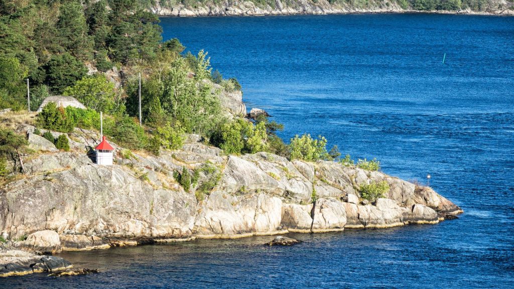
Skerries, Islets and Wooded Islands
Thousands of skerries – rocky islets covered in low vegetation – dot the seascape of the Oslofjord. Larger islands with sheltered coves also emerged from the melting glaciers, their surfaces covered in pines, maples and birch trees. Some isles protect military fortresses and lighthouses, while others host idyllic cottages only accessible by boat.
Oslo: Fjord-Side Capital and Urban Hub
The Norwegian capital Oslo sits magnificently at the northern apex of the fjord, straddling both sides through districts like Frogner, Bygdøy and Nesodden. Over 670,000 residents call this vibrant harbor city home. Major Oslo landmarks include Akershus Fortress, Oslo Opera House, Holmenkollen ski jump and over 50 museums and galleries that pay testament to Oslo’s rich cultural heritage and history.
Drammen’s Deep Water Port
The city of Drammen extends along the southern Drammensfjord, benefiting from well-sheltered, deep waters for shipping. Major port infrastructure and related industries developed here to complement the inland timber trade. Drammen also features striking 19th century wooden structures, contemporary bridges, and abundant parklands in the valley.
Ferries Maintaining Island Connectivity
An extensive ferry network serves as a lifeline between landlocked towns, isolated communities and Oslo through the island corridors. Locals depend on over 100 daily public transport ferries to access amenities, supplies and employment hubs. During summer, additional sightseeing and leisure cruises connect recreational islands for tourism.
Maritime Trade Through Forested Landscapes
Despite Norway’s remote, rugged terrain, Oslofjord shipping lanes enabled efficient transportation of lumber, paper and other commodities from the nation’s vast interior forests. Even as roads improved mainland connections, the protected fjord remains essential infrastructure for coastal industrial facilities and freight harbors serving global exports.
Where Mountains Meet the Sea: Fjord Ecology
The intersection of terrestrial and marine realms foster the Oslofjord’s remarkable productivity and biodiversity. Nutrient-rich freshwater supports blooms of phytoplankton, while tidal currents carry oxygen and nutrients. These form the foundations of aquatic food chains topped by fish like cod and pollock, alongside encircling seabird colonies. Even whales and shark migrate through this thriving inland sea.
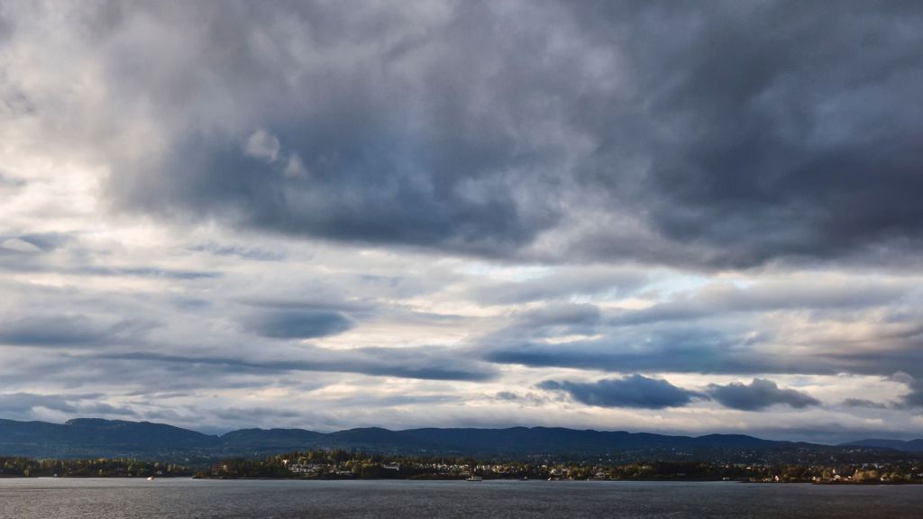
Currents and Tides Shape Shifting Waterscapes
The narrowness and orientation of Norwegian fjords leads to unusual tidal dynamics within these systems. Daily flood tide pulses propagate wave-like through the convoluted channels, while ebb tides drain out swiftly – resulting in prolonged tidal extremes compared to open coasts. These churning currents carried glacial sediments to create ever-shifting sandbanks and dynamic features over time.
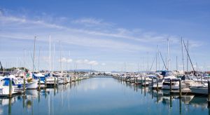
Beaches, Marinas and Island Hopping
During summer months, the Oslofjord’s many beaches and marinas fill with sailing boats, kayakers and holidaymakers. Local ferries facilitate island-hopping adventures, with winding cycling and walking trails threading through the forests and coastal villages. Tourists flock to soak up long days of Nordic sunlight, exploring historic sites between nature escapes filled with berry picking in the woods and fishing trips.
Culture and Lore Carved by the Fjord
This picturesque waterway features prominently in Norwegian art, books, folk tales and media – both documenting and shaping regional culture. Archaeological sites like Tønsberg, the nation’s oldest city, also provide a window into centuries of history from the Viking era onwards. Through sustaining coastal settlements and identity, the Oslofjord breathed cultural life into Norway in a fundamental way.
Development Pressures and Conservation Concerns
Expanding construction, roads, logging and effluent discharge increased pressures on the fjord habitat. But conservation efforts now seek to curb environmental damage while managing growth, improving wastewater systems and creating protected areas. Though balancing preservation with development remains an ever-present challenge along this cherished waterway.
The Enduring Allure of Norway’s Iconic Inland Sea
Despite the forces of change, the sublime magic of the Oslofjord perseveres for both inhabitants and visitors. Whether gazing at its glassy surface from a ferry deck or peering into its very origins on a museum boat tour, this glacial gift from Ice Age giants continues reflecting Norway’s spirit between the forests and ocean waves.