Early canal-building efforts in Ohio

Ohio’s first small canal projects, such as the Muskingum River improvement, were undertaken not long after statehood in 1803 to make key river routes more passable for shallow-draft vessels. As Ohio’s population rapidly increased in those early boom decades, state leaders increasingly saw the potential of canals to facilitate commerce and communication between settlements separated by difficult overland routes across the Appalachian foothills. These early efforts laid skills and techniques necessary for the ambitious statewide projects soon to come.
Role of canals in opening up interior of Ohio
Just a few decades into the infancy of the Buckeye State, Ohioans were spreading outward in all directions from early population centres along major rivers like the Ohio and Scioto. Canals would not only directly link the Ohio River trade routes with burgeoning commercial cities like Cincinnati and Cleveland near Lake Erie, but the canal passages would function as important arteries from which smaller towns and frontier outposts could fan out across the interior. The very presence of canals catalyzed urbanization and made profitable agriculture possible in locations once hindered by high transportation costs.
Key canals of the Ohio River system
Two major canal alignments formed the backbone of Ohio’s inland water transportation network tying into the Ohio River—the Miami and Erie Canal in the western half of the state and the Ohio and Erie Canal on the eastern side.
Miami and Erie Canal
Construction timeline and route
Construction on Ohio’s series of interconnected canals kicked off in 1825 with the groundbreaking of the Ohio and Erie. By 1827, work commenced on the Miami and Erie Canal as well, with the 296-mile continuous passage from Cincinnati to Toledo completed in 1845 after nearly 20 years. This waterway passed through historic cities like Dayton and Sidney via systems of artificial channels, creeks, and rivers.
Impact on growth of Cincinnati
The canal terminus at the bustling Queen City of Cincinnati contributed enormously to its economic explosion in the mid-19th century. It cemented Cincinnati’s clout as an inland port, able to overcome its downriver location from other Ohio trade locations by gaining a reliable shipping conduit directly with Lake Erie’s Great Lakes shipping lanes all the way to the Atlantic Ocean.
Ohio and Erie Canal

Connected Ohio River to Lake Erie
The 308-mile Ohio and Erie Canal completed its first functional section between Akron and Cleveland in 1827, with gradual extensions southward down the Cuyahoga and Tuscarawas River valleys until it ultimately connected to the Ohio River at Portsmouth in 1832.
Revitalized economy of Northeast Ohio
The convenience of cheap transportation boosted industries in burgeoning cities like Akron and Cleveland, with new mills and factories sprouting up. Cities like Massillon and Dover also swelled along its Ohio River feeder routes. New packet boats could deliver raw materials one direction and then load up finished products or regional agricultural goods for wider markets. Mineral extraction in regions farther upriver greatly benefited.
Features and functions of Ohio River canals
Locks and dams enabled elevation changes
Given the notable variations in relief across Ohio’s landscape, engineers incorporated networks of locks, lift locks, and dams, enabling the long gradients required for canals to climb hills and manipulate inland waterways to maintain necessary depths. Locks allowed the passing of boats between impounded sections of different elevations.
Primarily used to transport agricultural goods and raw materials
Bulk agricultural goods took prime transport priority on Ohio’s canal barges. Wheat, corn, pork, lard, whisky, fruits, vegetables, and more could reach expanding urban centers. Manufactured goods also headed outbound, as did lumber, coal, limestone, clay, and other regional raw materials for industrial-scale usage elsewhere.
Supported growth of new towns and settlements
Not only did the canal routes directly stimulate localized economic booms in the cities they passed through, but smaller villages and townships cropped up at regular intervals further out to serve as waypoints supplying the needs of canal boat crews. Capitalizing on transitable infrastructure, these satellite communities flourished, feeding agricultural products into the canal trade networks.
Challenges for Ohio River canal system
Competition from railroads
By midcentury, canal transport faced ever stiffer competition from the upstart technology of railroad lines, which could haul goods faster and operated year-round rather than freezing in wintertime. Costly improvement projects to widen locks and maintain dredging became harder for Ohio’s canals to justify.
Frequent flooding and need for costly repairs
Ohio’s abundance of rivers contributed greatly to siting its canals but could prove the network’s Achilles heel as well. Seasonal flooding and storm impacts led to frequent washouts and ruptures requiring extensive repairs after embankment breaches. Leaks were also an annoyance, requiring miners to continually burn water lilies and other invasive plants before they could impede canal traffic.
Eventual transition to reliance on rail transportation
Despite efforts to keep pace technologically, canals’ heyday slowly faded midcentury. By 1861, Ohio boasted over 1,800 miles of active railroad track. For time-sensitive freight like fresh produce, railroads reigned supreme in efficiency. Only commodities like coal and aggregates remained viable to transport by canal barges longer into the late 19th century.
Canals’ lasting impact on Ohio

Facilitated population expansion and settlement
The population-concentrating effects and expanded land accessibility the canal passageways conferred upon rural areas fundamentally shifted Ohio’s demographic footprint for the decades to follow. Canals shaped regional transport layouts and ignited country crossroads into centres of commerce and industry that endure today.
Connected Ohio farmers and manufacturers with wider markets
Not only could Ohio producers ship goods faster and more cheaply on canal boats than overland wagons, but the intrastate connectivity opened up access to eastern seaboard ports as ultimate destinations. By linking its own lesser tributary river branches, the canal grid integrated the economic fate of Ohio’s northern and southern subregions for the first time.
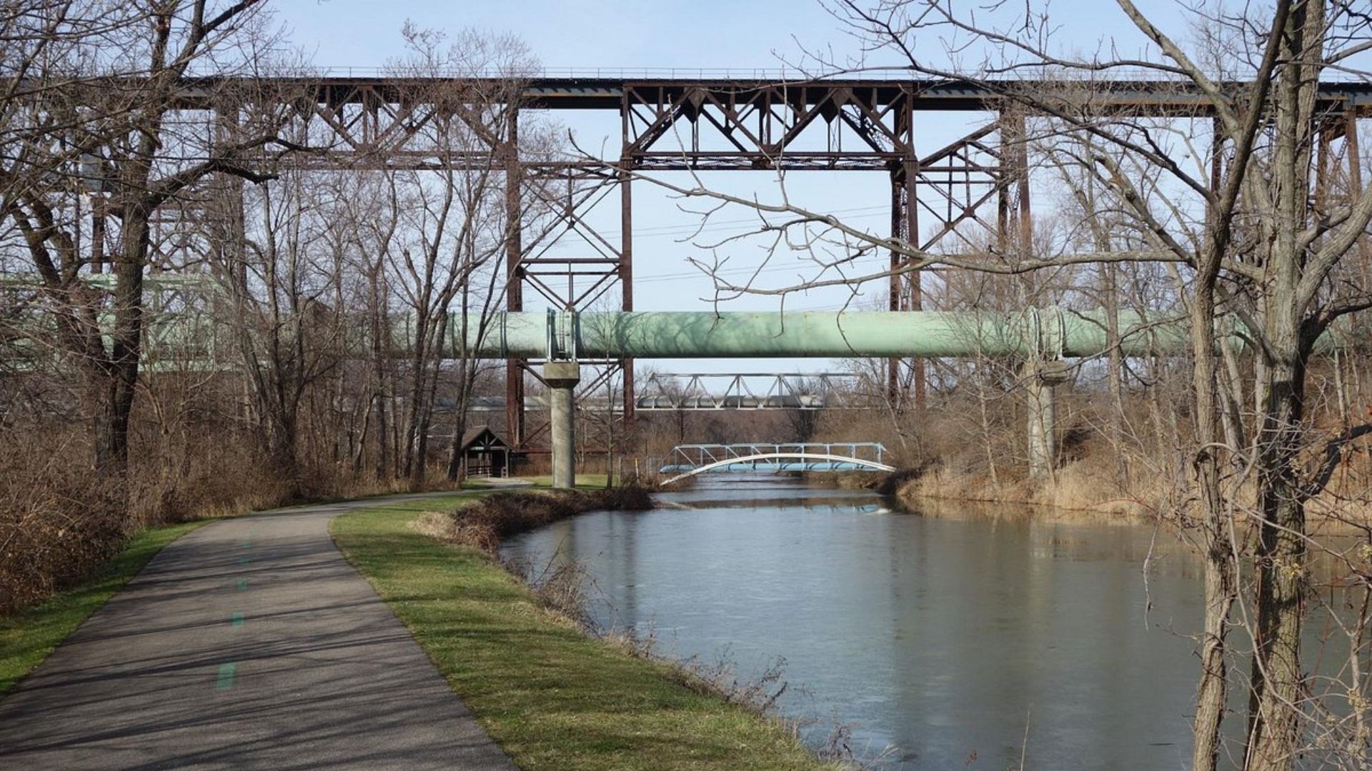
Canal routes repurposed for highways and recreation
Though their utility slowly waned after the glory days, the lasting alignments and earthenworks infrastructure of Ohio’s major 19th-century canals have left an indelible imprint on its modern transport landscape. Many major automobile highways trace the rectilinear footprint originally dug for barges. Where water passages entrenched too extensively to shift roadbeds, the state has redeveloped numerous stretches into recreational mixed-use paths ideal for jogging, bicycling, or walking.


