Setting Sail into the Unknown
Sailing ships embarked on journeys that took them far from the safety of land, often for months at a time. These voyages were filled with uncertainty, as the oceans concealed their secrets beneath the ever-changing surface. Mariners set out on these adventures with the goal of reaching their destination, but the path was far from straightforward.
The Importance of Navigation
Navigation was not just a skill but a matter of life and death for sailors. A slight miscalculation could lead a ship off course, potentially stranding it on rocky shores or in the midst of a treacherous storm. To ensure their safety and the success of their missions, sailors developed a range of navigation techniques and tools that became the backbone of their journeys.
Celestial Navigation
The Stars as Guides
One of the most iconic images of navigation is that of a sailor gazing at the night sky, seeking guidance from the stars. Celestial navigation involved using the positions of celestial bodies, such as the North Star, the sun, and the moon, to determine the ship’s latitude and longitude. This ancient art allowed sailors to find their way even when land was nowhere in sight.
The Sextant: A Sailor’s Best Friend
Central to celestial navigation was the sextant, a precise instrument used to measure the angle between a celestial body and the horizon. By combining this angle with the known position of the celestial body at a specific time, sailors could calculate their latitude accurately. The sextant was a vital tool in the sailor’s arsenal, and its use required skill and precision.
Calculating Latitude and Longitude
Sailors may determine their latitude using a sextant and nautical almanacs by determining the angle between the horizon and the North Star or the sun at midday. Longitude, however, proved to be a trickier puzzle. It required precise timekeeping and a method known as “chronometer longitude,” which involved comparing the local time with the time at a known reference point, such as Greenwich, England.
Dead Reckoning
Navigating by Deductive Logic
Dead reckoning was a method of navigation that relied on estimating a ship’s current position based on its previously known position, course, and speed. While it might sound like guesswork, it was a calculated and systematic approach. Sailors would plot their course on nautical charts, keep a close eye on the ship’s logbook, and continuously update their estimated position.
Logbooks and Keeping Track
Logbooks were essential for recording a ship’s vital information, including its course, speed, and weather conditions. By diligently maintaining logbooks, sailors could track their progress and make adjustments to their course as needed. This method required keen observation and mathematics to stay on the right track.
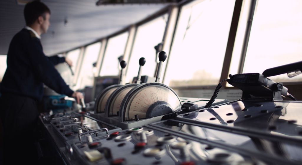
Magnetic Compass
The Magnetic North and South
The magnetic compass was another indispensable tool for sailors. It pointed toward the magnetic poles, providing a consistent reference for determining direction. However, it was not without its challenges. The difference between true north and magnetic north, known as magnetic variation, had to be taken into consideration because it changed depending on where the ship was.
Correcting for Magnetic Variation
Navigators used compass correction tables to adjust for magnetic variation. By knowing the current variation for their location, they could steer a true course. This correction ensured that sailors didn’t inadvertently sail off course due to the compass’s magnetic quirks.
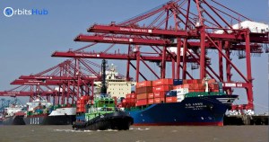
Nautical Charts and Maps

Cartography on the High Seas
Accurate maps and nautical charts were essential for safe navigation. Cartographers meticulously mapped coastlines, hazards, and navigational aids, providing sailors with vital information about the waters they would traverse.
Reading Nautical Charts
Navigators relied on nautical charts to plot their course and avoid dangerous areas. These charts contained symbols and notations that conveyed critical details about underwater features, currents, and depths. Skilled sailors knew how to interpret these charts to make informed decisions while at sea.
Landmarks and Coastal Navigation
Using Coastal Features as Guides
Sailors often relied on landmarks and coastal features to navigate close to shore. Recognizable headlands, cliffs, or distinctive geological formations served as visual references, helping mariners stay on course and avoid running aground.
Lighthouses: Beacons of Safety
Lighthouses were a sailor’s best friend when approaching a coastline at night or in foggy conditions. These towering structures emitted distinctive light patterns or sounds, acting as beacons of safety and guiding ships to safe harbors.
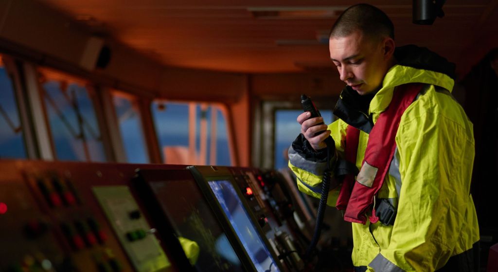
Timekeeping at Sea
The Challenge of Accurate Time
Accurate timekeeping was crucial for celestial navigation and longitude calculations. However, keeping precise time at sea was a significant challenge due to the harsh marine environment and temperature variations.
The Invention of the Chronometer
The invention of the marine chronometer revolutionized navigation. These finely crafted timepieces could maintain accurate time, even on the rolling deck of a ship. With a chronometer on board, sailors could accurately determine their longitude by comparing local time with the time at the reference meridian.
Weather and Navigation
Wind, Waves, and Weather Signs
Weather played a significant role in a sailor’s journey. Observing cloud formations, wind patterns, and the behavior of birds and marine life helped sailors anticipate weather changes and make informed decisions about their route.
Avoiding Stormy Seas
Navigators had to be particularly vigilant when it came to avoiding storms. Sailing into a tempest could be disastrous, so sailors used their knowledge of weather signs and navigational skills to steer clear of trouble.
Emergency Navigation
When Instruments Fail
Despite the array of tools and techniques at their disposal, sailors occasionally faced situations where their instruments failed or became unreliable. In such cases, they had to rely on their wits and experience to navigate safely.
The Art of Dead Reckoning
Dead reckoning, honed through practice and experience, became a lifeline in emergencies. By estimating their position based on the last known data, sailors could navigate until their instruments were back in working order.
Modern Navigation Tools
GPS and the Revolution
In the modern era, technology has transformed navigation. Global Positioning System (GPS) technology provides precise and real-time location data to mariners, making navigation more accessible and accurate than ever before.
Combining Tradition with Technology
While modern tools like GPS have revolutionized navigation, many sailors still value traditional methods and skills. Combining these age-old techniques with cutting-edge technology ensures a comprehensive and reliable approach to navigation.
Navigating the unknown seas was both an art and a science for sailors aboard sailing ships. The techniques and tools they employed, from celestial navigation to dead reckoning, showcased their dedication to mastering the art of navigation. While today’s sailors benefit from advanced technology, the legacy of these ancient techniques endures, reminding us of the indomitable spirit of those who once sailed the high seas, armed only with their knowledge and determination.